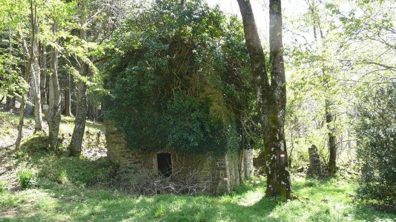
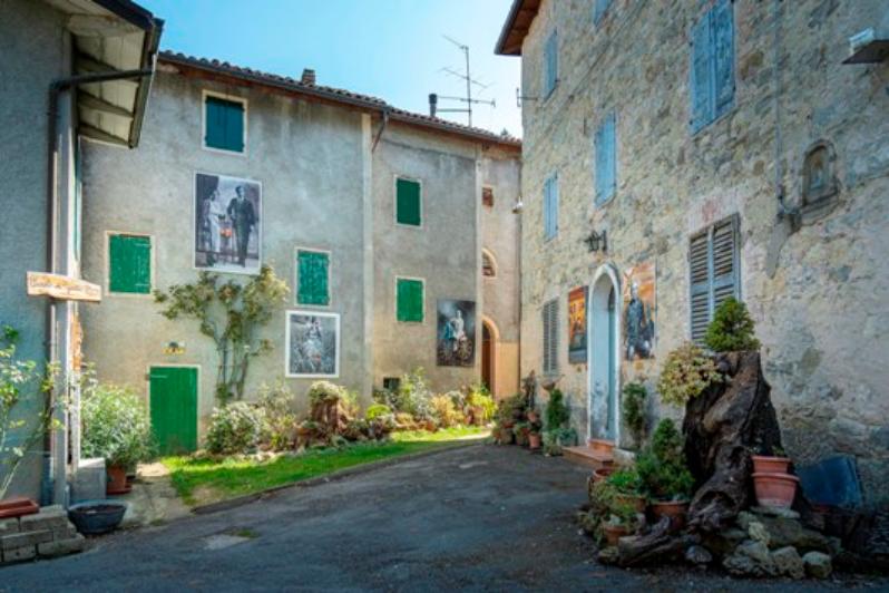
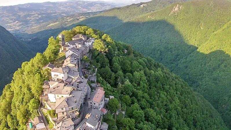
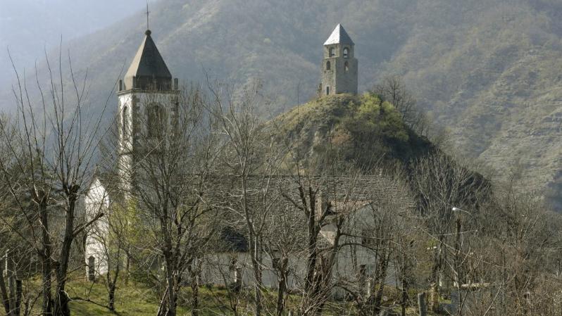
The hamlet of Fiammineda dates back to the 17th century, as shown by a curious inscription on the window’s lintel of a house, depicting a Maltese cross within a circle and mentioning the year 1644.
Between the 60s’ and 70’s, the hamlet remained completely uninhabited. During the 90’s, only one house underwent restoration works, but no sanitation, electricity, gas, water and telephone line connections had been provided in the whole settlement. The village’s only attractions today are a fountain and the adjacent washtub, coveted goal for many thirsty hikers.
Fiammineda is located on the south-west edge of Mount Pizzo, in proximity to the narrow valley, created by Fosso Fiammineda (Fiammineda Trench), which separates the abovementioned mountain from Mount Grande. The village is located at an altitude of 800 metres above sea level, just 1 km from the District of Pianaccio, reachable through an ancient mule track, today the CAI trail No. 151 of the Emilia – Romagna hiking network, classified by the Emilia – Romagna geo-portal as “via Fiammineda”. Except for this path, heading northwards beyond the hamlet up to Bocca delle Tese, and for the CAI trail No. 135 that leads to Lizzano in Belvedere, there are no other communication routes to reach Fiammineda.
Map
Fiammineda
Via Maggiore 4
40042 Lizzano in Belvedere
Distance from Bologna < 90 km
Telephone: +39 053451052
Email: info@cornoallescale.net
Site/minisite/other: https://www.cornoallescale.net/luoghi/fiammineda
Interests
- Nature & Landscape

